MIC provides an integrated processing, analysis and long term archiving of monitoring data related to in-service structures or geotechnical assets, from the plausibility control of automatic or manual records to the preparation of personalized graphs and reports.
MIC implements a phase-and-role based access control system for organizing permissions and specifying who can do what, offering the required flexibility and safety. Reading permissions are available for all users and other permissions are authorized to specific users depending on the validation stage: recent readings, validated data and historic data

MIC allows the implementation of personalized interpretative models, statistical or deterministic, which helps to quickly identify any irregular behaviour of the structure or of the monitoring instrumentation. MIC offers unlimited possibilities of data combinations, independently from the reading frequencies. A simple equation editor allows the use of any type of formula and user-defined functions.

MIC can be completely customized to a specific project, considering the characteristics of its monitoring system and data transmission. MIC works with any type of instruments, sensors and manufacturers. The data management process can be customized to suit the needs of the user. MIC is available in 5 languages (Italian, English, German, French, Spanish), while others can be easily implemented on request.

MIC is hosted online, meaning that it is accessible everywhere, at any time and with any device. Data backup, software and hardware maintenance are guaranteed. MIC is also distributed, on request, as a “local installation” application (installation of MIC and database on the Client’s server. Access through a web browser. The Client is responsible for the backup).

MIC automatically and regularly informs the designated users on the ongoing activity via email with warnings in case of irregular measurements or any discrepancy between measured and expected behaviour, with reminders of the monitoring activities to be carried out and with notifications to inform regarding the completed activities and the main results.
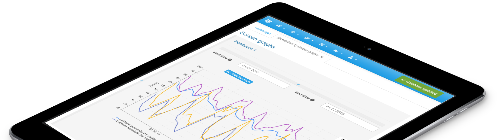
Monitoring data can be visualized on screen with interactive plots or can be printed with a wide range of flexible and customizable graphical sheets (time series graphs, seasonal graphs, scatter graphs, profiles, maps) and tables (single or multiple date tables). MIC also provides an automated report generation tool which can be completely user-configured.

220 m high arch
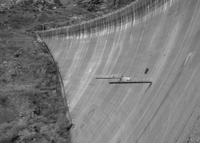
80 m high arch-gravity dam affected by AAR
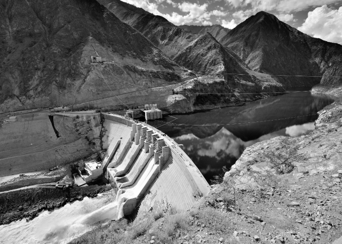
88 m high gravity RCC dam

1.7 km long tunnel equipped with multicell piezometers
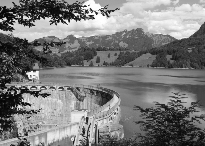
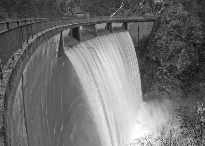
Monitoring of 8 dams (arch, gravity)
Monitoring of the landslide on the reservoir left bank